Mapping of the spatial variability of liquefaction potential below the levees
and modelling of optimal mitigation techniques
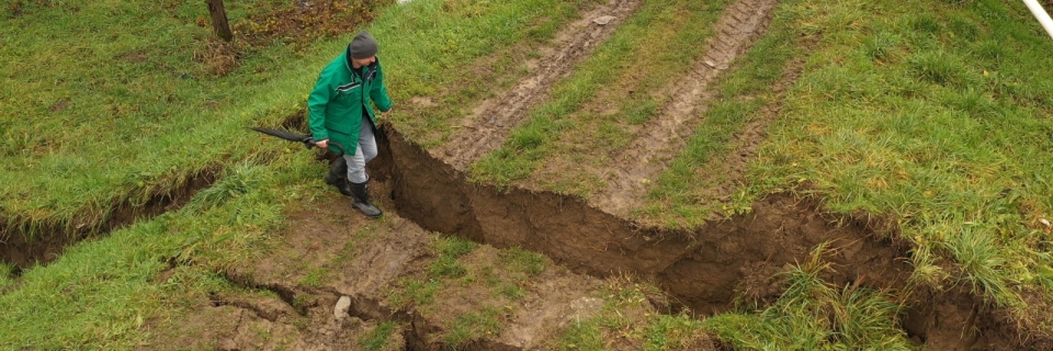
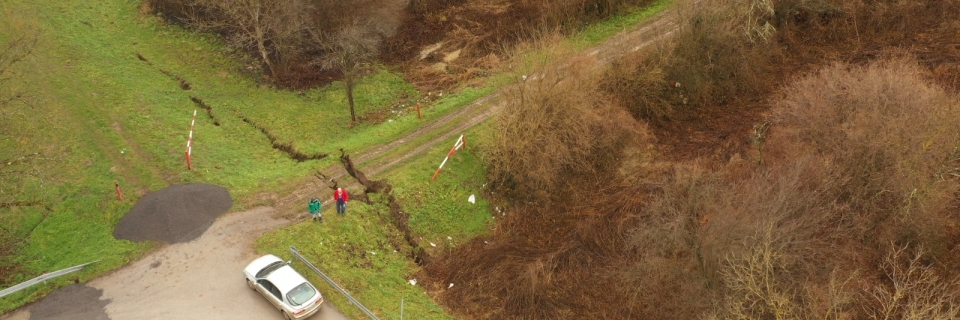
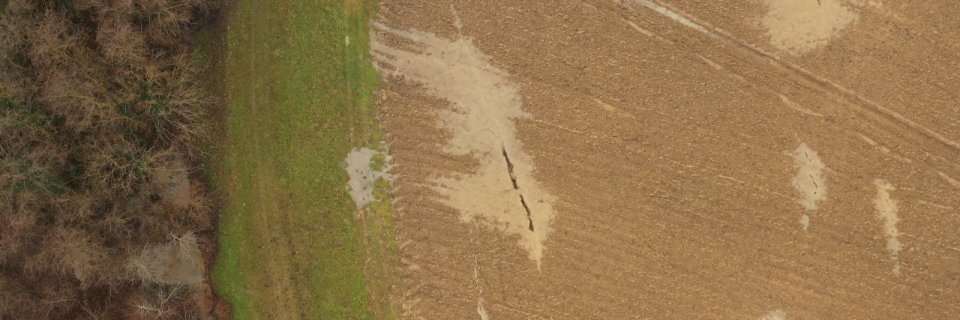
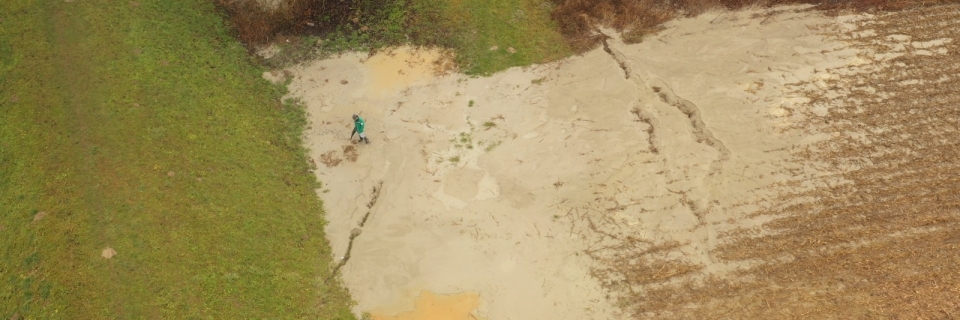
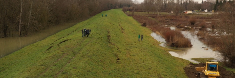
LeveeLiq is a scientific project dealing with the mapping of the spatial variability of soil liquefaction potential below the levees, as well with the physical and numerical modelling of liquefaction mitigation techniques. The innovative methodology for reliable mapping of LP spatial variability, developed within the LeveeLiq project, relies on in-situ data measured by multiple sensors. This data will be used to develop an algorithm for the evaluation of liquefaction spatial variability, which will be integrated into a digital interface. Furthermore, based on information on LP variability, mitigation measures will be optimized in the project through utilization of complex 3D numerical simulations calibrated on the results of physical laboratory models’ monitoring. The methodology will be validated in the selected pilot area, along with the development of a handbook with guidelines for its implementation in the existing flood defense management framework.
The project is funded by Croatian Science Foundation, grant IP-2022-10-7608, and will last for 4 years (2024-2028).
![]()